Smart Construction solutions
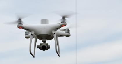
Drone
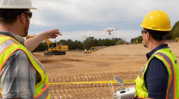
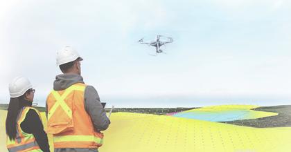
Accurate job site topography could mean the difference between completing the project when you think or knowing you are on time. With drone survey technology, collecting accurate topography is safe, quick and easy. No matter where you are in your drone program, we have the expertise to help you get the most out of your equipment.
Why should you fly?
A high precision mapping drone can be 50% faster than a walking survey, and its boots never get muddy. Drone mapping helps with planning, sends data as you progress and gives you information that you can turn into efficiencies and better reporting.
*when flown per manufacturer’s specifications
Features and benefits
Easier and faster surveys
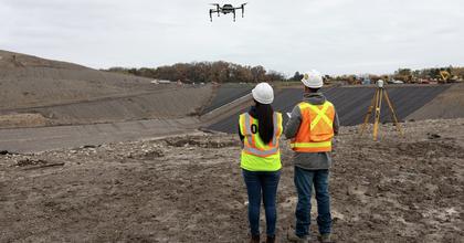
Why walk steep slopes and muddy flats for hours when you can fly them in 30 minutes? A Smart Construction Drone captures quantities for production tracking and billing from the air without worrying about potential injuries from personnel walking the job site to do a manual survey.
Unlimited tracking
Fly as much as you want to track your production. Drones enable you to gather and analyze data throughout each phase of your project. Measure daily, weekly or when it makes sense for your operations.
Limit Downtime
No need to completely stop your production with a drone flight. Unlike the downtime that comes with a walking survey, production disruptions are limited since flights are high above your ground activities.
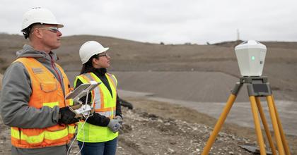
Enhance your team’s capabilities
Elevate your survey teams to new levels of clarity by integrating frequent aerial mappings into your workflow. Drone surveys incorporate hundreds of thousands of points instead of hundreds of points with traditional surveys.
Operational cost savings
Drone surveys can be completed at often fractions of the price of a traditional survey. Speed up your topographic surveys and save money by utilizing current drone technology.
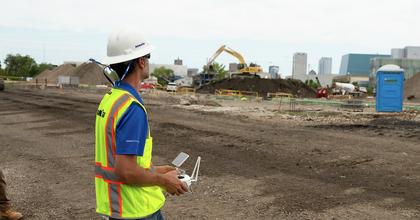
View your jobsite progress from the sky
Drones allow you to do more than just run missions. With capabilities to take still photos and videos from up to 400 feet above ground level or under bridge decks, drones can be used as pre-job verification or keeping your stakeholders up to date.
Support you can count on
Production studies and coaching
Support before, during and after purchase to help ensure operators are making a positive impact on their operations through Komatsu-trained and experienced Smart Construction and Technology Solution Experts
My Komatsu
Designed to support your needs and help maximize the value of your equipment, this inclusive solution provides an array of insightful information about your fleet and the convenience of ordering parts, letting you manage your work site from anywhere.
Training and support
Whether it’s operator training to get the most out of your intelligent machines, or project managers supporting you on your digital transformation, we care about your success. Komatsu-certified solution experts are on the phone, online or at your job site to make sure you get the most out of your investments.